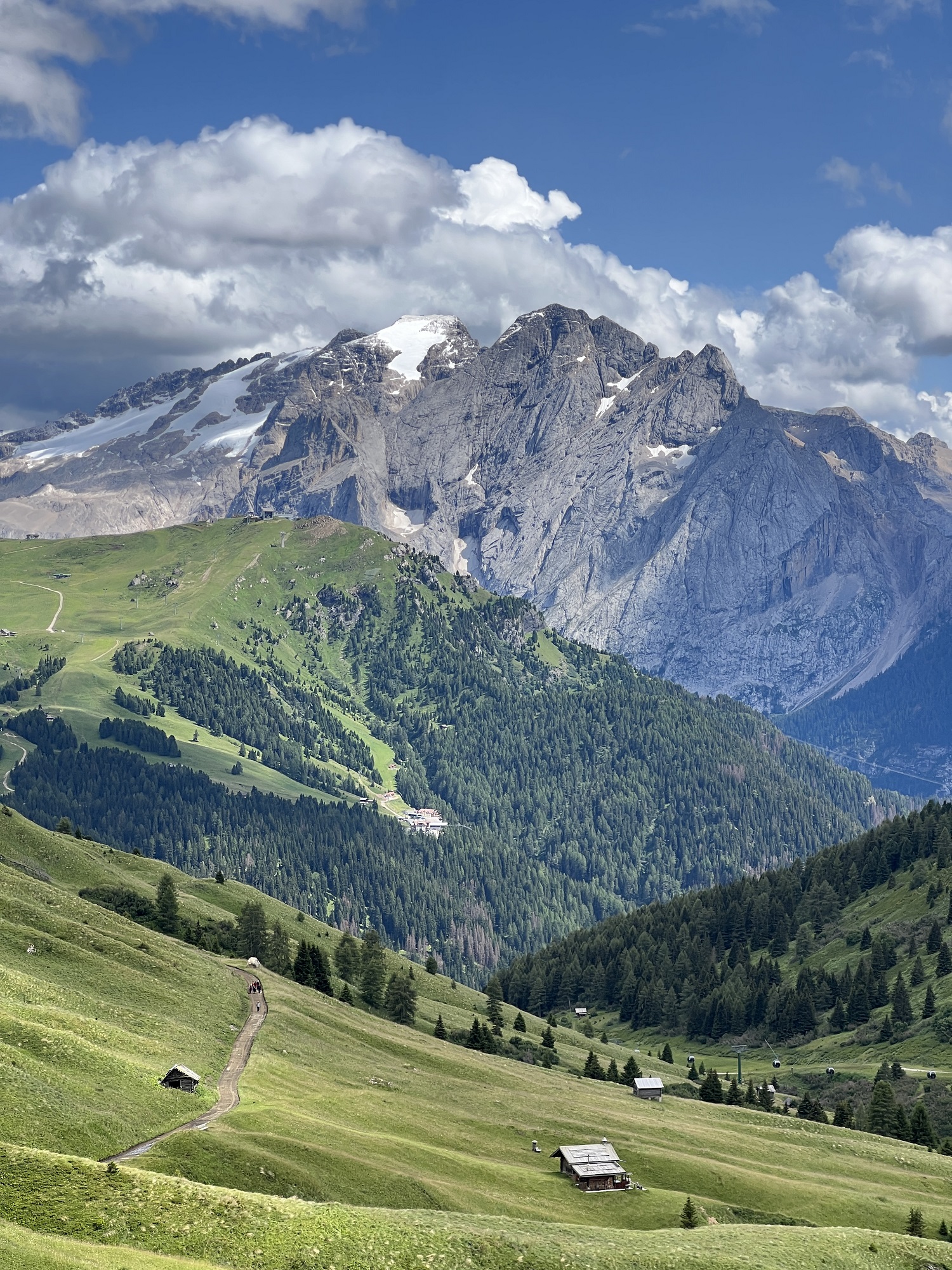
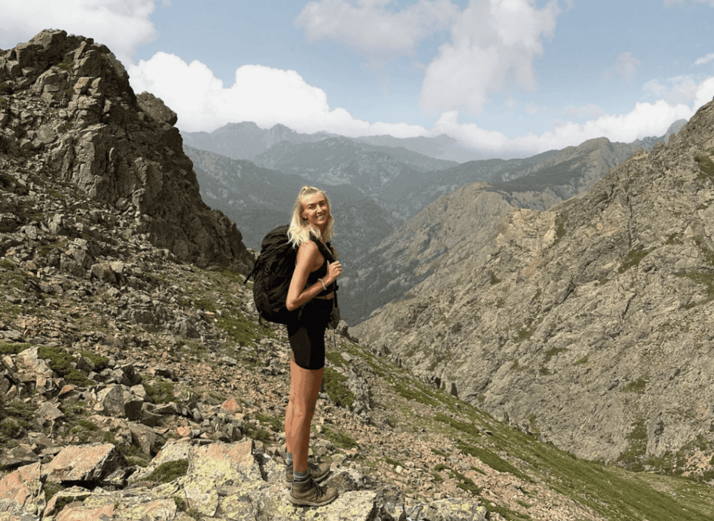
Corsica is a French island nestled in the Mediterranean Sea. Often called the “island of beauty”, it’s known for its diverse landscapes, rugged mountains, turquoise blue waters, white sand beaches and fresh local cuisine. I was originally drawn to Corsica after hearing about the famous GR20 hiking route which is said to be Europe’s toughest trek, taking 2 weeks and covering 112 miles with around 12,000m of ascent – it isn’t for the faint hearted.
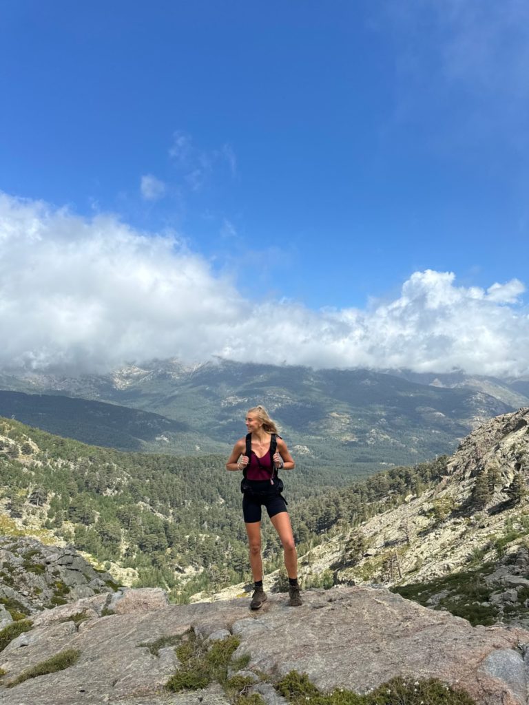
However, while a 2 week brutal trek isn’t on my agenda right now, seeing the landscapes the GR20 went through inspired me to look into day hiking across the island, and guess what? It is covered in incredible trails which are crying out to be explored, so I booked a trip and ended up falling in love with this little slice of French paradise. Here are the best hikes in Corsica!
The main airport is in Bastia, with direct flights from London and other major European cities. From there you can rent a car and drive to the mountains in an hour.
I highly recommend you rent a car. The public transport system is limited and it is tricky to navigate if you don’t speak French. Many of the best hikes start deep in the mountains, on roads that the local buses don’t access. I recommend opting for a nippy but small car to handle the hills and narrow roads.
The best time to visit is between mid June and late September, any earlier and the snow won’t have melted on the peaks. The heat and crowds are more intense in July and August, but you can escape them by hiking early in the morning.
The island is large and diverse, so you can easily make a few stops. If you are only spending a few days in Corsica then I definitely recommend Corte, as it is right in the heart of the mountains. However if you want to explore some coastal hiking too, then Porto is a great area to stay a few days and explore.
There are a handful of hotels in Corte and airbnb options are very limited. We ended up staying at a little 3 star spot, Hotel Restonica, which actually far surpassed all our expectations. It was perfectly located, had large renovated rooms and an incredible pool. I would highly recommend it.
I would recommend visiting for a minimum of 3-4 full days as there is so much to see and do, but to be honest I could have easily spent over a week exploring the island.
This region of France is actually fairly expensive, with prices comparable to other tourist destinations in the south of the country. However you can save a fair chunk of money by opting for self-catering accommodation and preparing your own meals.
Based on our experiences in Corsica, here are some tips and recommendations to help make your trip run a little smoother:
If you’re looking for more hiking routes, I recommend this book. It’s where I found most of the trails we hiked in Corsica.
These routes are focused around Corte and the surrounding area. If you do decide to extend your trip and explore other regions of the island, as well as coastal hiking, then I recommend using this book to plan your hikes.
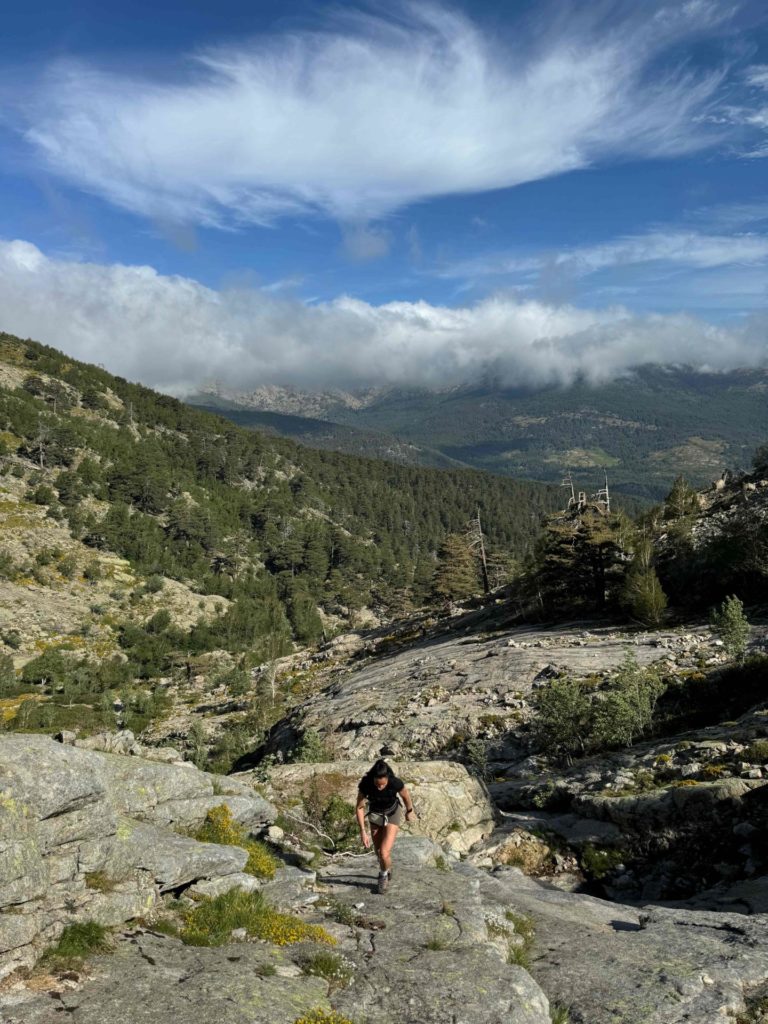
This popular route is short but spicy, with the second half of the ascent involving some light beginner-friendly scrambling. At the top of the climb you are brought to a high alpine meadow, complete with cows and sometimes even wild horses and pigs! The scenery is incredible with non-stop views the whole way up and down. You can also extend the hike once you reach the meadow to take in the summit of Capu Au Tozzu.
Distance: 8.5km
Elevation: 720m
Difficulty: Moderate-challenging
Trail Map: AllTrails – Lac de Nino
Top tip: It’s very easy to get lost on this trail, so make sure you keep your eyes on the yellow markings and cairns, and use your GPS map.
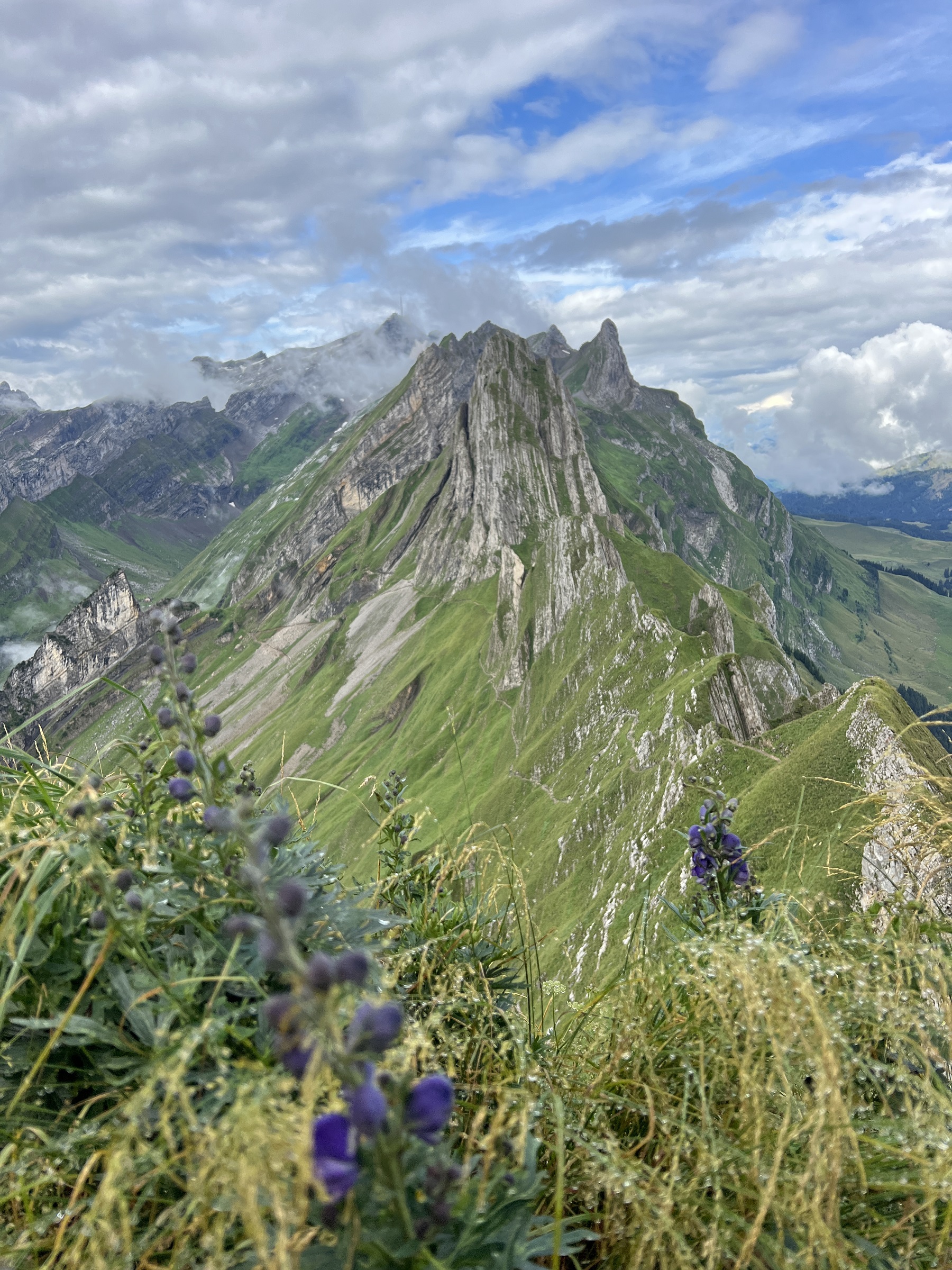
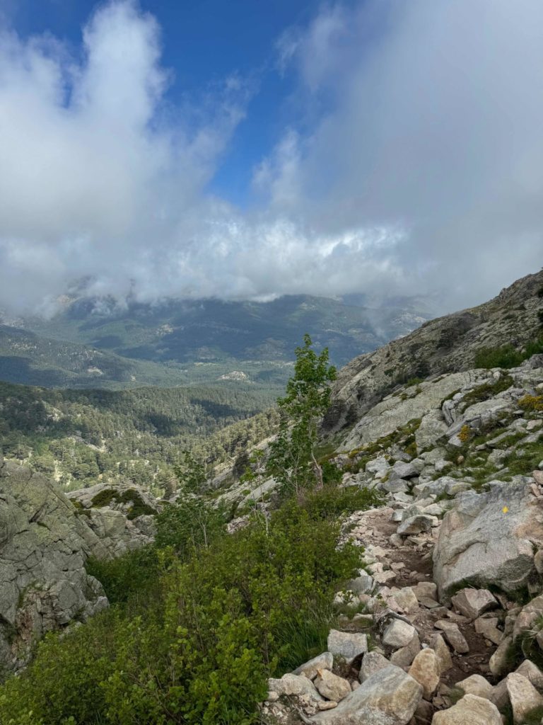
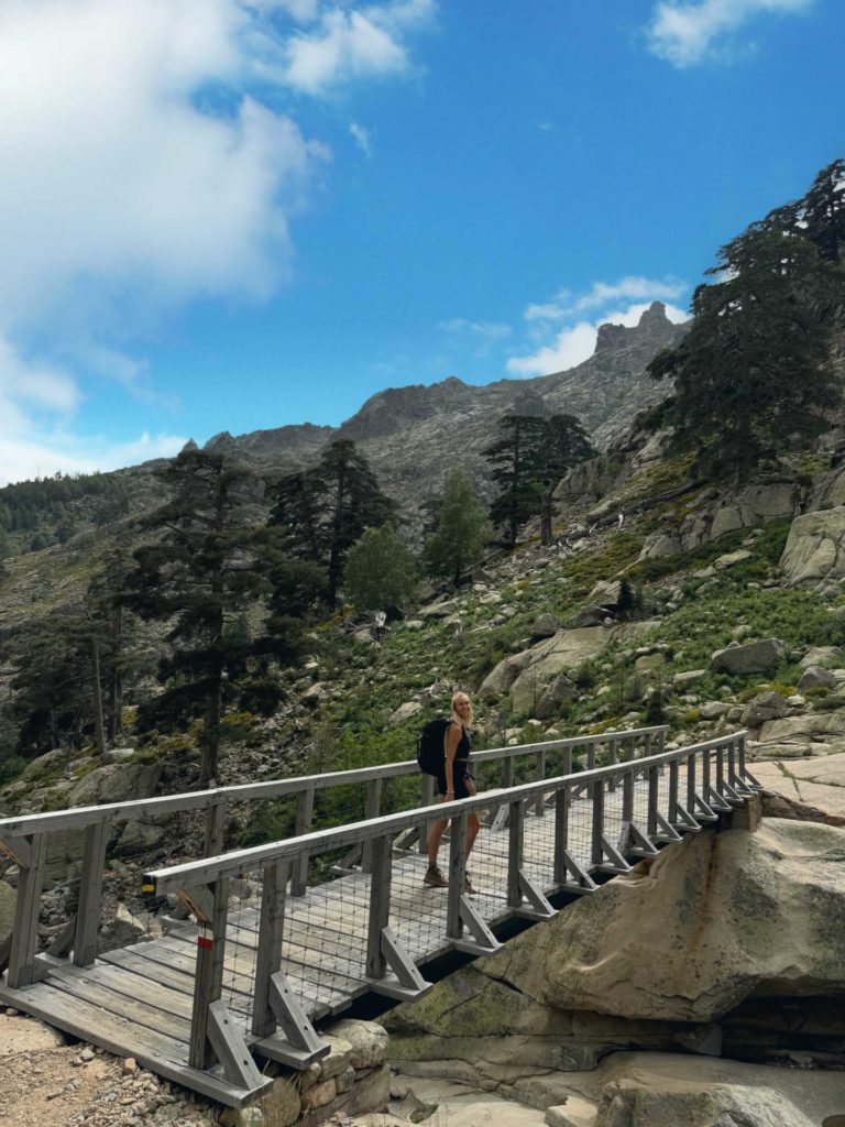
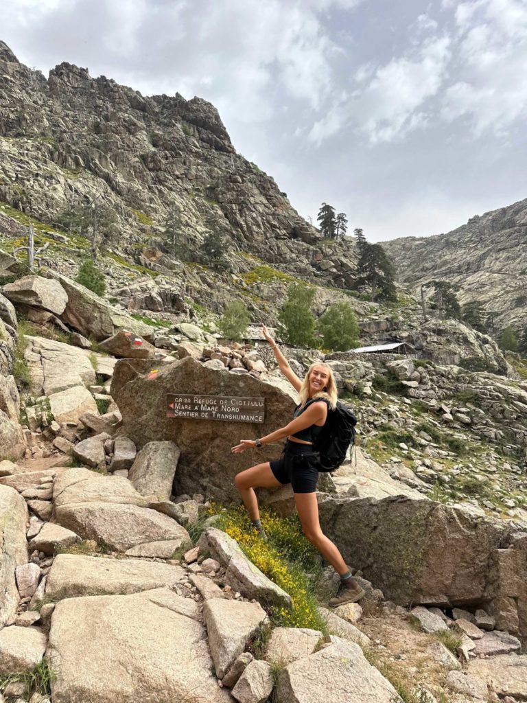
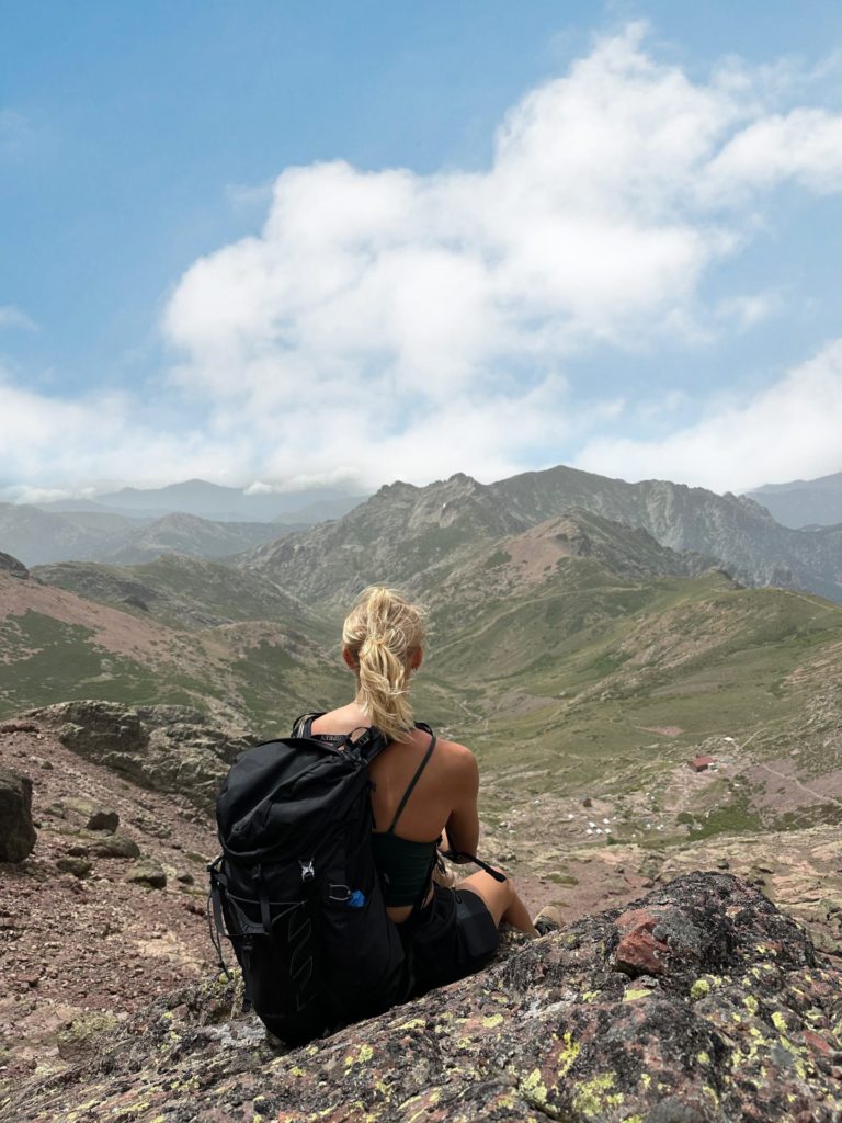
One of the most stunning hikes on the island. The route starts off by weaving through the base of a sweeping valley, surrounded by peaks, before ascending up to the ridgeline and taking in endless views of the island. The further you go, the better the scenery gets! Hikers can either turn around at the Ciottulu mountain hut (a great spot for lunch) or continue up to the summit, which is something I would only advise experienced mountaineers to do. If you fancy a dip, there are numerous natural pools you can swim in along the valley.
Distance: 15km
Elevation: 900-1200m (depending on where you turn around).
Difficulty: Challenging
Trail Map: AllTrails – Paglia Orba
Top Tip: On your way back to Corte, make a stop at Golo Rock Pools in Albertacce for a swim.
If you’re looking for gorgeous valleys and dramatic views of lakes surrounded by towering craggs, this is the hike for you. It’s widely known to be the most beautiful trail in Corsica! As a result, it does get a little busy but it’s totally worth it for the incredible scenery along the hike. There are meadows, mountains, rugged peaks and scrambling – the dream combination. I have included links to two routes, a shorter easier trail and a longer more challenging one.
Distance: 6.5km or 13km
Elevation: 550m or 1050m
Difficulty: Challenging
Trail Map: Easy route and harder route.
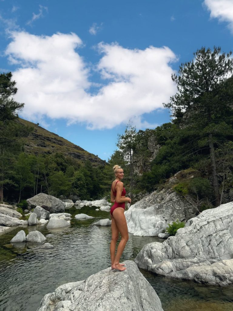
Top Tip: The valley where you park your car is home to the “Gorges de la Restonica”, a series of beautiful natural pools you can swim in, so make sure you take your bikini. Right now (June 2024) the road to the trail is closed due to a collapsed bridge, but you can park and hike an extra hour or two to the start of the trail.
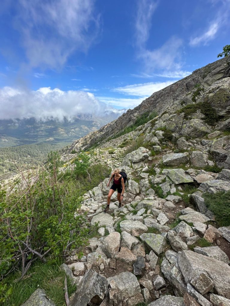
This trail is perfect for experienced hikers who are looking for a challenge. The route takes in an absolutely brutal 1600m of ascent, so it isn’t for beginners! However, if you’re willing to put in the hard work you will be rewarded with some of the most impressive views on the island as well as bragging rights for conquering one of its highest peaks. There are two gorgeous lakes along the way and a small bivouac on the summit. Navigation is hard at times and the path isn’t always well marked, so download a GPS map.
Distance: 12km
Elevation: 1550m
Difficulty: Very challenging
Trail Map: AllTrails – Monte Rotondo
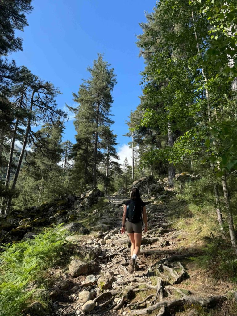
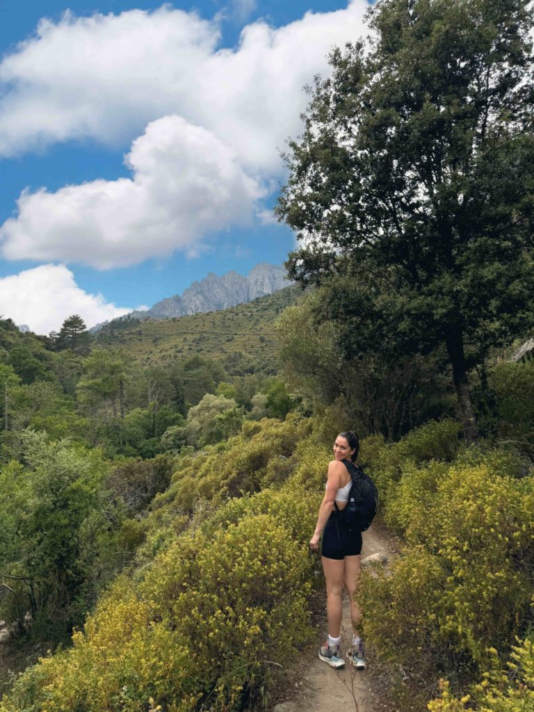
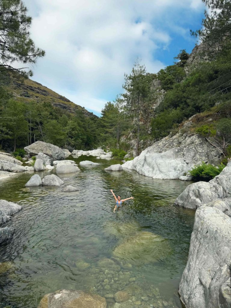
If your legs are tired and you want a more gentle, easy hike then add this into your itinerary. It starts in the town of Corte and follows a river up a nearby valley. While the views aren’t mind blowing, the scenery is lovely and there are plenty of natural pools you can swim in along the way. We actually just walked about 3 km up the trail, found a swim spot and then relaxed there before heading back to the town. It was a great way to spend a relaxed afternoon! Oh and we spotted a wild tortoise which was pretty damn cool.
Distance: 12km
Elevation: 500m
Difficulty: Moderate
Trail Map: AllTrails – Gorges du Tavignano
There’s nothing quite like conquering a summit, and Monte d’Oro is a very satisfying one to climb. Again, this one is for experienced and advanced hikers as it takes in 1400m of elevation. The views at the top are absolutely incredible, with 360 degree panoramas of the island. Completing this trail as a loop rather than the more well-known out-and-back route really adds to the experience and takes you through even more gorgeous landscapes.
Distance: 17km
Elevation: 1400m
Difficulty: Very Challenging
Trail Map: AllTrails – Monte d’Oro Loop
Top Tip: If you fancy a swim after your hike, head to Cascades des Anglais which is just down the road.
Safe travels,
Zanna x
Let me slide into your inbox. A monthly newsletter of all the good stuff – latest posts and videos, rants and rambles, recommendations and resources.
Website Designed by Brogan Daisy Digital © Zanna Van Dijk 2025