Fuerteventura is a widely misunderstood destination. The second largest of the Canary Islands, it is often associated with “fly and flop” all-inclusive holidays. But there is a whole other side to this wild, rugged and beautiful destination. Moonscapes, rolling mountains, volcanic craters and rustic villages coexist alongside white sand beaches, turquoise waters and year-round sunshine.
In my opinion, Fuerteventura, and all the Canary Islands, are incredible destinations for winter active escapes with warm weather and plenty of peaceful trails to explore. I hope that this guide of the best hikes in Fuerteventura can help you get the most out of your outdoor adventure!

The Practicalities:
Getting There:
There are direct flights from the UK to Fuerteventura on a daily basis.
Getting Around:
I highly recommend renting a car, as you will need it to access the vast majority of the trailheads.
When To Visit:
Fuerteventura is a year round destination, but I would recommend the winter months or shoulder season – aka late October through to February. This will give you mild temperatures which are perfect for hiking, with minimal wind but enough warmth to sunbathe.
How Long To Stay:
I would say a long weekend is the perfect amount of time to explore the island, we visited for 4 days and it was ideal.
Where To Stay:
We chose to stay in this airbnb in the centre of the island, because it meant we were equidistant from the best trails in the north and the south of the island.
Prices:
Fuerteventura is more budget friendly than many other winter sun destinations, with affordable accommodation and cheap flights. It can still be expensive to eat out, so I recommend cooking your own meals if you want to save the pennies.


The Best Hikes in Fuerteventura
In my opinion, the hikes on Fuerteventura are suitable for beginners and intermediate hikers. They are easy to follow and take in a range of landscapes from volcanic craters and rugged peaks to rolling sand dunes and picturesque beaches. My personal favourite area to explore was the Jandia peninsula, which is where three of the hikes below are located.
If you are on the hunt for more trails, I recommend purchasing this easy to use hiking guide book.


Pico de la Zarza:
Distance: 12.5km
Elevation: 750m
Difficulty: Moderate
Trail Map: Download the map here
The highest peak on the island at 807m is actually more accessible than you might think, the trail up is a consistent ascent but it is gradual and lacks technicality. The views at the top are by far the best we experienced – dramatic cliffs, towering peaks and miles of coastline. There are also plenty of mountain goats along the way! If you do one hike on the island, make it this one.
Isla de Lobos:
Distance: 10km
Elevation: 150m
Difficulty: Easy
Trail Map: Download the map here
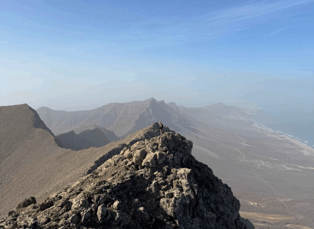
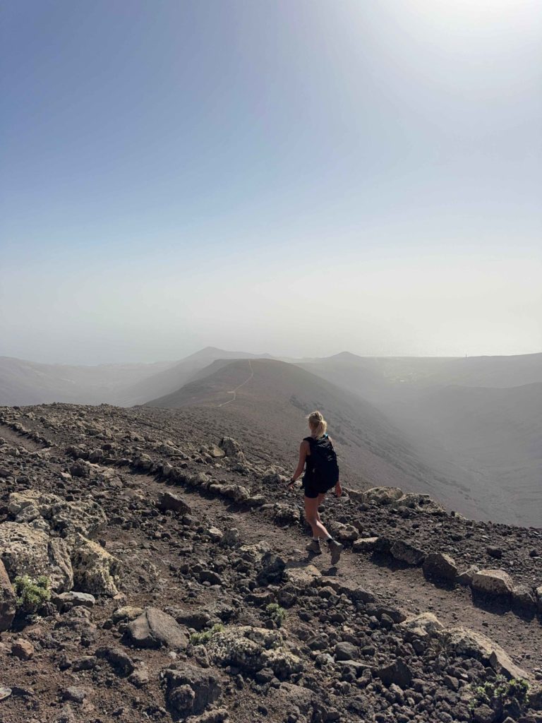
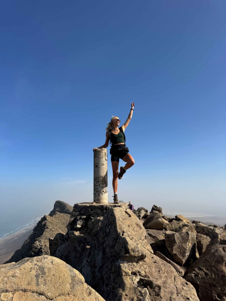
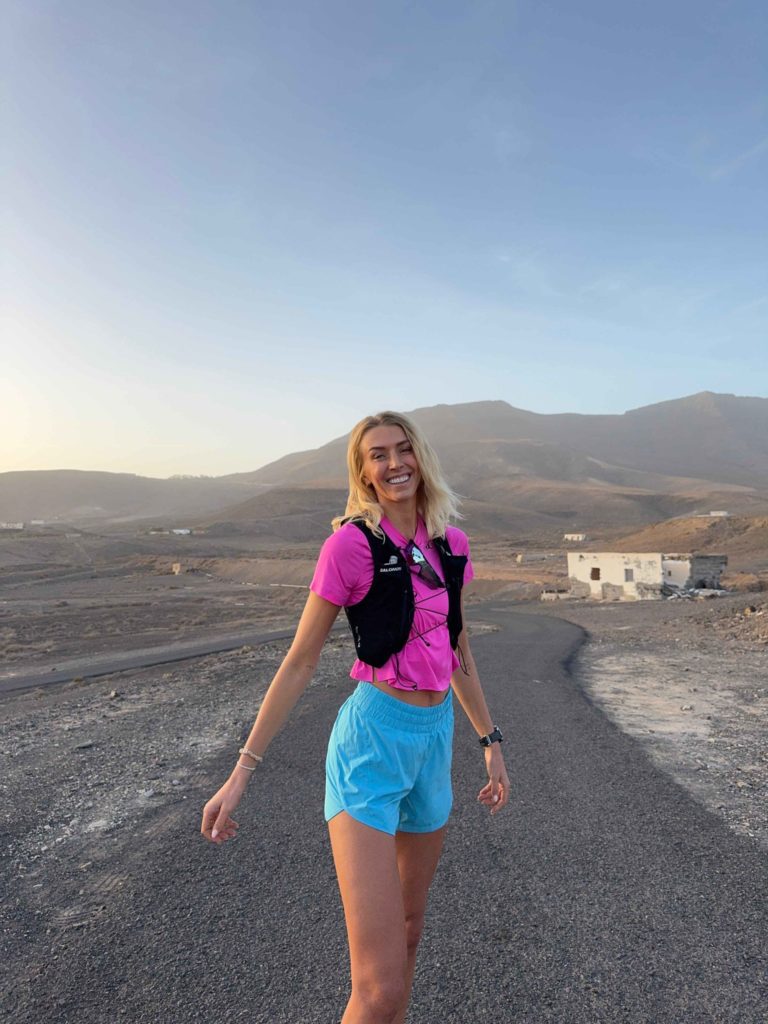
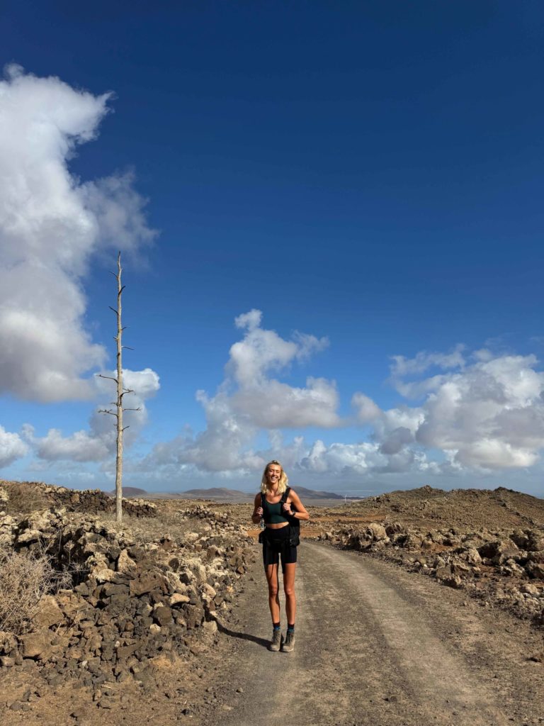
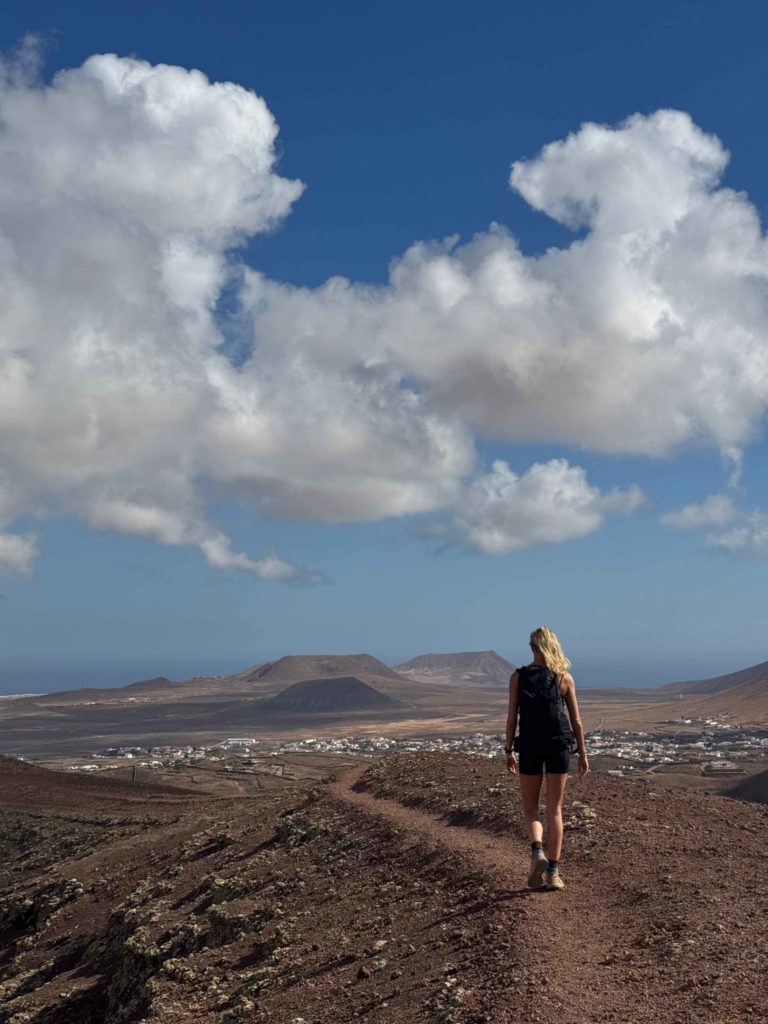
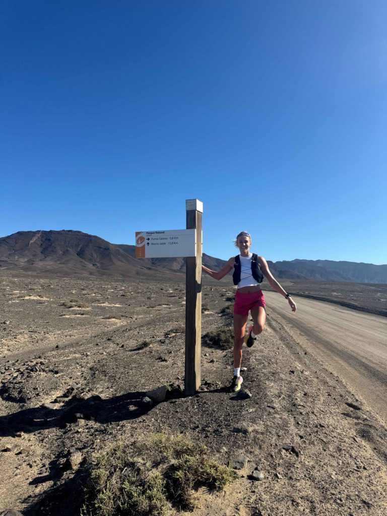
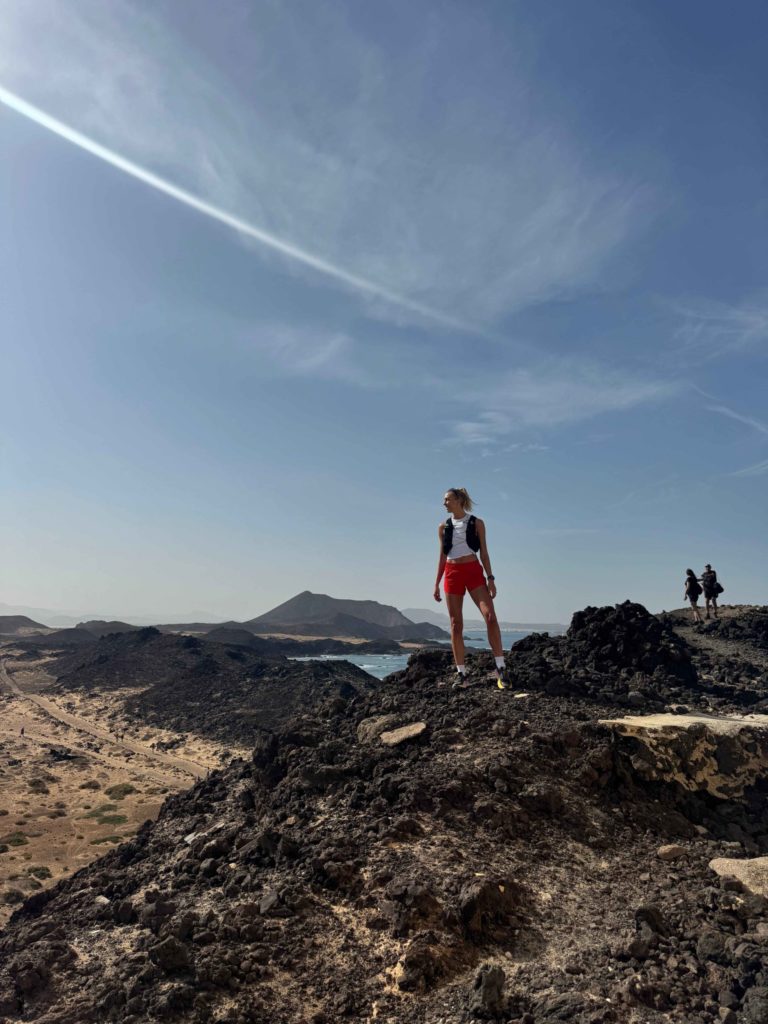
Isla de Lobos is a small volcanic island around a 15 minute ferry ride away from Fuerteventura, and it is well worth a visit. This route laps the island and takes you up to the highest peak, Montana de la Caldera. The views from the top are well worth the climb. The island itself is absolutely gorgeous with a quaint village, turquoise water, a sheltered cove and cosy restaurant – making it one of best hikes in Fuerteventura.


Volcan de la Arena:
Distance: 9.5km
Elevation: 230m
Difficulty: Easy
Trail Map: Download the map here
In the north of the island, this route loops around a volcano before ascending up to the rim and taking you along the edge of the crater. The views from the top are absolutely breathtaking, giving you 360 degree panoramas of the surrounding vast volcanic landscapes. Note that parking is limited at the starting point, but it is a peaceful trail and we only saw one other person during our hike.
El Puertito – Caleta de la Madera:
Distance: 11km
Elevation: 200m
Difficulty: Easy
Trail Map: Download the map here
This scenic loop explores the southern most part of the island, taking in a variety of landscapes from sand dunes and rugged coastlines through to peaks and secluded coves. We didn’t see a single hiker on this trail, which made it even more enjoyable. It is worth noting that the road to get there isn’t paved, but we were fine in our little rental car.
Gran Valle – Cofete:
Distance: 12.5km
Elevation: 600m
Difficulty: Moderate
Trail Map: Download the map here
This out and back trail takes you from one side of the island to the other, passing through the “great valley” which is surrounded by towering mountains. The views along the way are stunning and you are able to see beautiful beaches on both coasts. If you need a refreshment, at the farthest point in Cofete there is a small cafe where you can grab a drink.

If you found this article useful, check out my other travel guides:
- Tenerife Active Travel Guide: The Best Hikes in Tenerife
- Lanzarote Travel Guide: The Best Hikes In Lanzarote
- Mogan, Gran Canaria: Hiking & Travel Guide
Safe travels!
Zanna x